Tutorial 6 of 6
Measure, print, export and share
Beginner 8 min
Measure distances and areas on the ellipsoid, make a print layout as PDF, SVG or PNG, export layers as shapefile, GeoJSON, KML, GPX or CSV, and share a project by link or in a workspace.
Measure
Press M (or the Measure button) and click points on the map; the status line shows the distance as you go. Press M again for area. Enter or a double-click finishes, Escape starts over.
In Hiking route, four clicks around the middle of the ridge give Area 2.806 km², perimeter 6.76 km. Measurements are geodesic: distances follow the shortest path on the WGS 84 ellipsoid and areas are ellipsoidal (Karney's algorithms), not flat-map approximations.
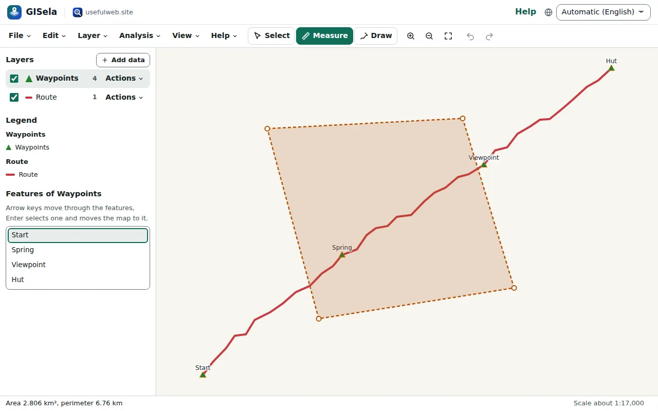
The route itself carries its length as an attribute: 4643.59 m. Analysis → Add area and length fields adds the same values to any layer.
Print layouts
File → Print layout… turns the current map view into a page with title, subtitle, legend, scale bar, north arrow, a note line and the attribution of the world map. Choose A4, A3 or US Letter, portrait or landscape, and download a vector PDF, an SVG or a 150 dpi PNG. The scale bar is measured at the centre of the map, so it is correct for the area shown.
Export layers
Layer → Export… writes the selected layer as GeoJSON, Shapefile (ZIP with .shp, .shx, .dbf, .prj and .cpg), KML, GPX, CSV (x/y columns for points, otherwise a WKT column) or WKT. Choose the coordinate system — the project's own system is listed first by name. KML and GPX are always written in WGS 84.
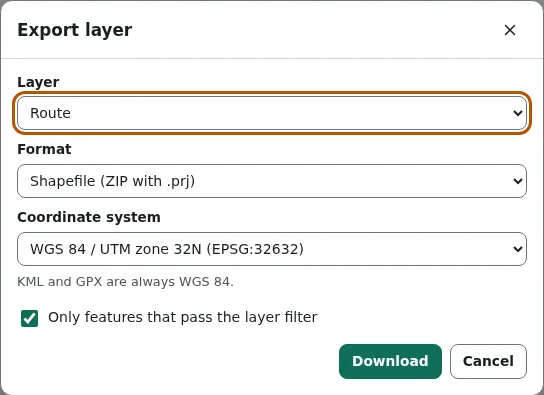
Shapefiles get a .prj that other GIS programs recognise, and field names are shortened to the ten characters dBASE allows. CSV exports protect against spreadsheet formulas: a value that starts with =, +, - or @ gets a leading apostrophe.
File → Export map view as SVG or PNG saves exactly what the map shows. Open in another app… sends a layer as GeoJSON or table, or the map as SVG, PNG or PDF, to another UsefulWeb app.
Share a link
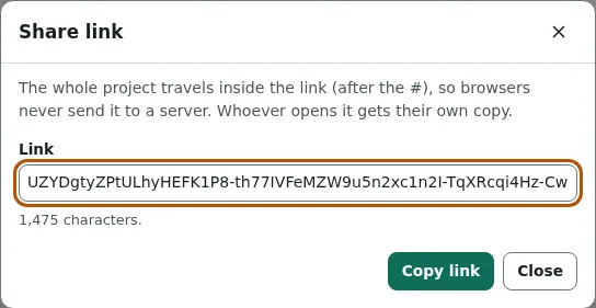
File → Copy share link… puts the whole project into the link, after the #. Browsers never send that part to a server; whoever opens the link gets their own copy, saved in their browser. For large projects the link gets too long — GISela says so and suggests a file or a workspace instead.
Work together in a workspace
When you are signed in, the workspace button in the toolbar saves the project to a Teamspace. Members see the same project and get each other's changes live; viewers can look, select, measure and export, but not change the project. Two people saving at the same moment do not overwrite each other silently: GISela asks whether to load the newer version, overwrite it or keep yours as a copy.
Ready to try it?